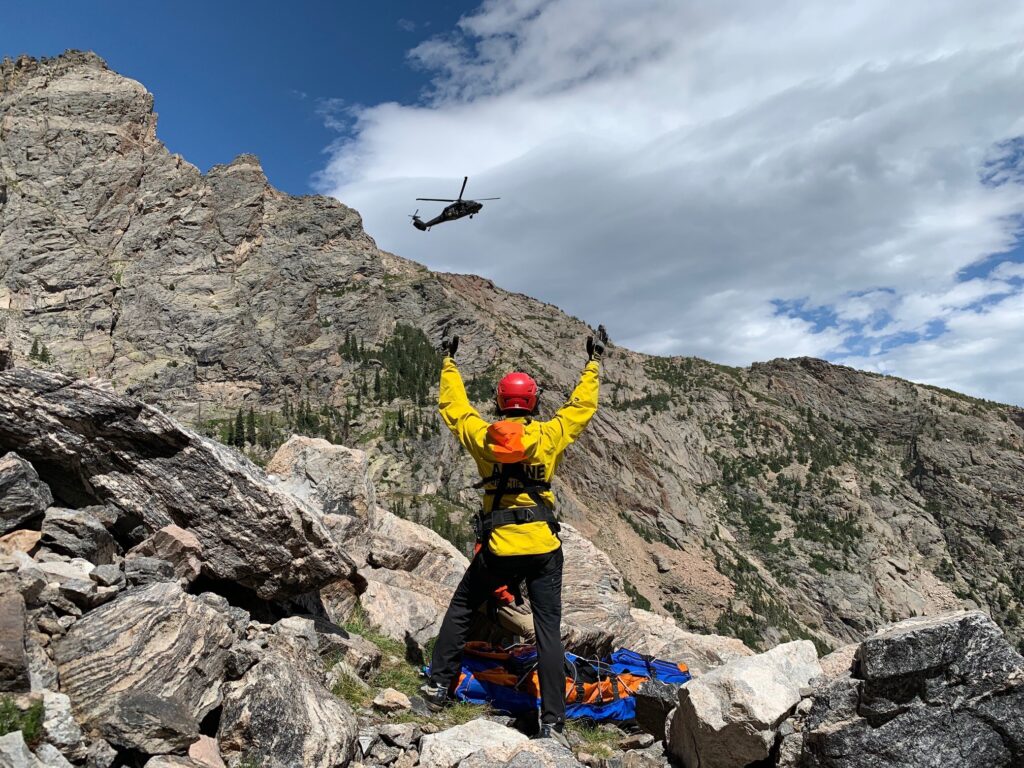
Swiftly aid search and rescue missions by covering extensive and difficult-to-navigate landscapes, utilizing aerial thermal imaging to pinpoint the whereabouts of lost individuals.
Problems
- Rescue missions often occur on vast and challenging terrains, which can limit ground search capabilities.
- Lack of accurate coordinates and visual references can negatively impact response missions.
- Certain terrains and conditions pose challenges to easily identifying a missing person through visual ground searches.
Solutions
- Cover large areas more efficiently with drone-based search missions.
- Provide accurate coordinates and visual references to ground teams for more efficient rescue missions.
- Overcome terrain and visibility challenges with aerial searches that detect heat patterns.