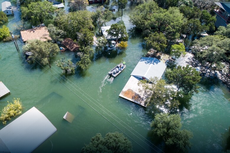
Harness the power of drones to capture critical visual and thermal data, enhancing prevention strategies and response tactics during natural disasters, including floods, landslides, earthquakes, and more.
Problems
- The absence of updated terrain information and situational awareness can severely hinder an effective response.
- Entering a disaster zone without real-time updates can leave response teams blind to evolving conditions.
- Traditional data collection methods for post-disaster recovery struggle to grasp the full scope of damage and determine the necessary resources required for efficient rehabilitation efforts.
Solutions
- Provide critical terrain analysis and situational awarness through updated digital models and real-time aerial imagery.
- Ensure safety and proper allocation of response personnel with continuous drone-based aerial support.
- Conduct comprehensive impact assessments and streamline rehabilitation efforts using precise, easily shareable digital models.