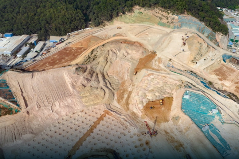
Enchance earthwork operations through frequent and accurate earth movement and stockpile volume measurements.
Problems
- Absence of frequently updated stockpile measurements can lead to project delays and inaccurate resources supply.
- Inefficient walk-based methods results on higher labor cost and time.
- Stockpile manual measurements accuracy can be compromised by human errors.
Solutions
- Generate updated Stockpile Measurement with Point Cloud Data at any time.
- Cut field work time with efficient drone-based data collection.
- Ensure data quality and consistency with repeatable mission flights.