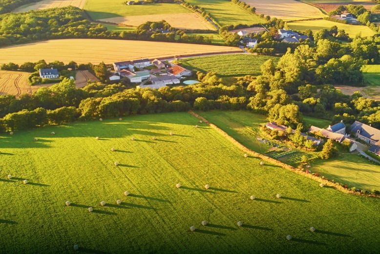
Boost the efficiency of land administration and cadastral processes by using high-accuracy UAS solutions to quickly generate digital models.
Problems
- Cadastral mapping usually requires collecting large data sets, including data gathered by ground teams in hazardous or inaccessible areas.
- Traditional cadastral survey methods lack visual data, limiting adequate land-use analysis.
Solutions
- UAS Solutions can cover larger areas than terrestrial surveying processes, improving field data collection efficiency and reducing collection time.
- Keep digital records that can be easily used for regular land cover comparisons, so teams can monitor changes dynamically.