Alpine Drone Imaging offers aerial photography and videography services, which are priced by the hour or day. The rate is determined by the complexity of the project, aircraft/sensor(s) used, flying environment, amount of pre/post processing work needed, hours worked, personnel needed, and travel requirements associated.
- Most “standard” projects (aerial photography and videography) are $200 per hour or $1500 per day (8 hrs).
- Advanced sensor missions (thermal imagery, non-LiDAR 2d/3d mapping, public safety, etc.) are $400-$600 per hour or ~$3k-$4.5k per day (8 hrs).
- LiDAR missions are $1,000-$5,000 per hour.
Factors that affect cost
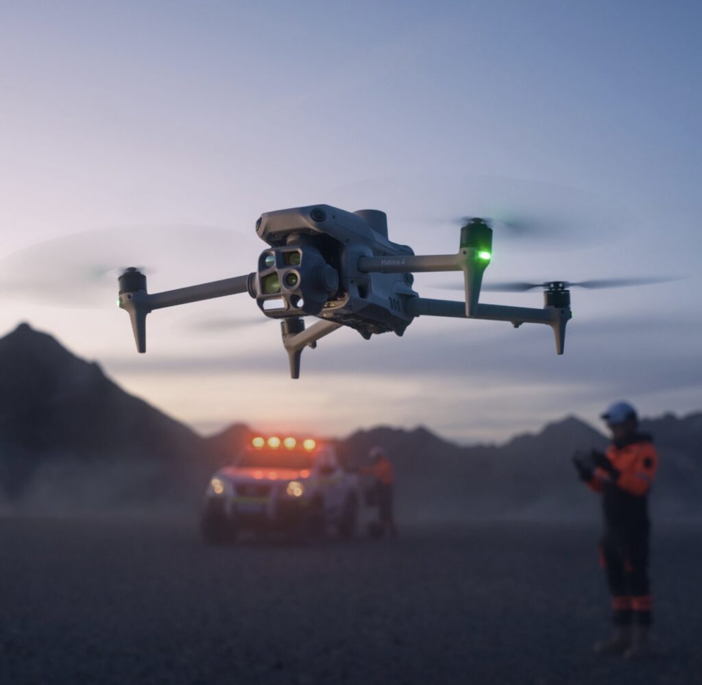
Specialized aircraft (thermal imagery, mapping, aerial inspection, search and rescue, autonomously/remotely piloted, weatherproof, night/inspection lighting, audible speakers, etc.) equipment (base and rover RTK stations, additional video output, monitors, etc.), airspace factors (often times, airspace approval and/or operating exemptions must be requested from the FAA in advance) and additional personnel (visual observer and/or more) increase the hourly cost.
- Terrain, Resolution, and Accuracy: The cost per acre for mapping or LiDAR missions varies, depending on the terrain, resolution, and accuracy needed.
- Project size: Larger projects are more economical (per building / acre / unit / etc) due to economies of scale.
- Pre/Post-processing: Post-processing adds cost to projects or missions.
- Sensors: The sensitivity or sophistication of sensors (also known as payloads) used in a project or mission can increase the cost. For example, LiDAR sensors range in price from $7,500-$150,000, and that doesn’t include the cost of the aircraft to which it gets installed and operated from.
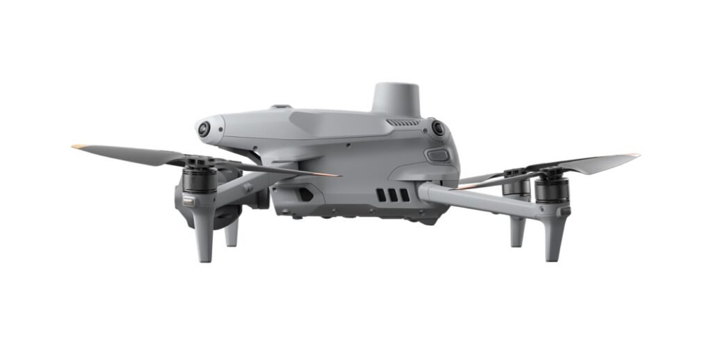
- Aircraft: Alpine Drone Imaging has a fleet of 4 aircraft (all 2025 DJI model units – Mini 4 Pro, Matrice 4E, Matrice 4T, and Matrice 350 RTK w/ P1 and L2 sensors) ranging in aircraft price from $1,500 to $40,000.